Developments in ocean technology have brought significant breakthroughs in our ability to understand and monitor ocean dynamics. One of the most innovative instruments in this field is High Frequency Radar (HF Radar), an advanced technology that allows scientists and practitioners to make real-time observations of ocean surface conditions remotely. By breaking through the limitations of conventional observations, HF Radar has changed the way we collect and analyze oceanographic data. It uses high-powered radio waves to measure the speed and direction of ocean surface currents, and provides critical information on marine phenomena such as waves, winds and water mass movements. The main advantage of HF Radar lies in its ability to produce mapping of large areas of the ocean with high resolution and impressive accuracy, without requiring direct presence at the study site.
High Frequency Radar is a sophisticated instrument used to remotely measure and monitor sea surface characteristics using high frequency radio waves. This technology allows researchers to collect real-time oceanographic data without having to be directly on site. HF Radar works by emitting electromagnetic waves at high frequencies (3-30 MHz) to the sea surface. The basic principle is:
- Waves are emitted from a shore antenna
- Waves bounce off the water surface
- The reflected signal is recaptured by the receiver
- Analysis of changes in frequency and phase of the signal yields information about sea surface motion
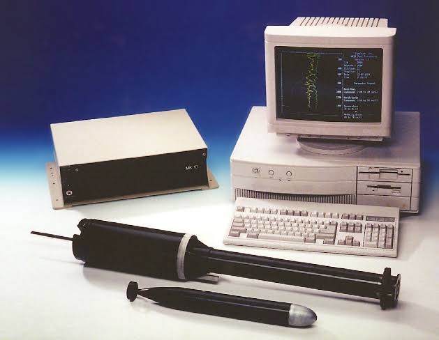
HF Radar consists of several key components such as:
- Transmitting Antenna: Generates electromagnetic waves, Usually in the form of a linear or circular array, Placed at strategic locations on the coast
- Receiver: Captures the reflected signal, Analyzes changes in frequency and phase, Convert raw data into interpretable information
- Data Processing System: Computer with specialized software, Process signals and generate flow maps
- Communication System: Transmits data to the research center, Allows real-time access


How HF Radar Work
The use of measuring ocean currents using HF Radar has several stages, such as:
- Installation Preparation: Selection of strategic locations on the coast, Antenna installation with precision orientation, Configuration of supporting electronic and computer systems, Calibration of equipment according to specific geographical conditions
- Signal Transmitting Mechanism: The antenna emits high-powered electromagnetic waves, Frequency used: 3-30 MHz, The transmitting angle is adjusted to obtain maximum coverage, The waves are transmitted at a certain angle to the sea surface
- Signal Reflection and Reception Process: Waves bounce off the water surface, Reflection is affected by: Water surface motion, Roughness of the sea surface, and Presence of objects on the surface. Receiver captures the reflected signal with a special sensor
- Signal Analysis: Comparing transmitted and received signals, Measures frequency changes (Doppler shift), Calculates the speed and direction of water surface movement, Complex algorithms process raw data
- Data Processing and Visualization: Computer with specialized software, Signal conversion into current maps, Creation of real-time visualizations, Data storage and distribution
HF Radar strengths and weaknesses
Strengths
- Wide Area Coverage: Able to monitor marine areas up to 200 km from the coast, Generates comprehensive data without direct presence at the location, and Provides a comprehensive overview of sea surface conditions
- Accuracy and Real-Time: Produces data with high accuracy (±5-10 cm/sec), Continuous and real-time monitoring,
and data updates can be done every few minutes - Cost Efficiency:
Relatively low operational costs, No need for ships or equipment at sea, and Simple maintenance compared to conventional methods - Flexibility of Use: Can be applied for various research purposes, Supports multiple marine science disciplines, and Adaptive to various environmental conditions
- Comprehensive Data Collection: Measure current speed and direction, Detects wave characteristics, and provides information on water mass circulation.
- Environmental Contribution: Supports coastal environment monitoring, Assists climate change research, and Facilitate marine resource management
Weaknesses
- Geographical Constraints: Effective only for nearshore waters, Performance degrades in areas with complex topography, and Requires clear line of sight to the monitoring area
- Interference Sensitivity: Susceptible to electromagnetic interference, Data quality affected by weather conditions, and Signal interference from external sources
- Resolution Limitations: Limited spatial resolution (1-6 km), Less accurate for areas with high dynamics, and Difficult to detail in areas with high complexity
- Calibration Needs: Requires periodic calibration, Accuracy decreases if routine maintenance is not performed, and Specialized skills required for calibration
- Infrastructure Dependency: Requires a stable source of electricity, Reliable internet connectivity, and Cooling system and weather protection.
- Interpretation Complexity: Data requires specialized skills to interpret, Requires sophisticated software, and Not easily understood by non-experts
- Algorithm Limitations: Accuracy depends on algorithm quality, Difficulty reading extreme conditions, and Requires continuous development
- Initial Investment Cost: Equipment purchase costs are relatively expensive, Installation requires significant costs, and High value specialized software