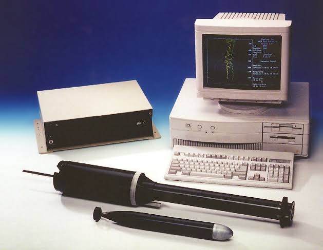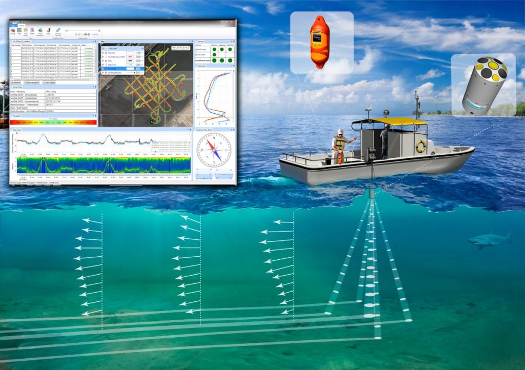
Bathymetry survey is the process of drawing the contour lines of the depth of the seabed, which includes measurement, processing and visualization. Bathymetry maps have many benefits in the marine field including determining shipping lanes, planning coastal buildings, detecting potential natural disasters, and offshore mining. In the modern era, bathymetry measurements can be made with echosounding (sonar), which is mounted on the side of a ship and then waves are emitted. One of the instruments used in modern bathymetric surveys is the HydroSurveyor. The HydroSurveyor is designed to collect bathymetry data, water column velocity profiles and acoustic bottom tracking data as part of a hydrographic survey. The two main components of the system are the HydroSurveyor Acoustic Doppler Profiler (ADP®) platform and the powerful yet user-friendly data collection software.
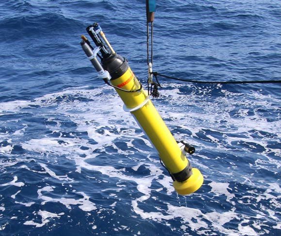
HydroSurveyor is a system designed to collect bathymetry, water column velocity profile and acoustic bottom tracking data as part of hydrographic surveys. The two main components of the system are the HydroSurveyor Acoustic Doppler Profiler (ADP®) platform and the powerful yet user-friendly data collection software.
Key features of HydroSurveyor include:
- Sound velocity integration and interpolation (with CastAway-CTD)
- Above ground velocity (Acoustic Base Tracking)
- Depth measurement with 5 beams (50° coverage)
- Water column velocity (current) mapping
- Automatic data multiplication and interpolation
- 360° compass and two-axis tilt sensor
- Interfaces for customer-supplied GPS and/or directional sensors
HydroSurveyor software allows users to develop bathymetric maps with sufficient accuracy, using properly gridded data points. Features include CastAway-CTD integration, data multiplication and interpolation, and a central recording platform. HydroSurveyor is designed as an “all in one” survey solution. The transducer, echosounder, processing electronics and compass/tilt sensor are all in one integrated hardware unit with integrated firmware and PC software. HydroSurveyor also provides water column velocity and SOG (speed over ground). However, it should be noted that HydroSurveyor’s firmware and ping sequences have been optimized for bathymetric surveys. The system will measure current profiles simultaneously, but the quality of the velocity data will be related to boat speed and water conditions.
How Hydrosurveyor Work
The following is a general description of how a hydrosurveyor works:
- Use of Sonar:Hydrosurveyors are generally equipped with sonar devices, which stands for Sound Navigation and Ranging. Sonar uses sound waves to measure depth and identify objects on the bottom. There are two types of sonar often used in hydrosurveyors:
- single-beam and multi-beam. Single-Beam Sonar: Single-beam sonar sends a single sound wave to the bottom of the water and measures the time it takes for the wave to return to the surface. With this travel time information, the hydrosurveyor can calculate the depth of the water.
- Multi-Beam Sonar: Multi-beam sonar, on the other hand, can generate a series of sound waves at once in multiple directions. This allows for more detailed mapping of the water bottom, creating more accurate contour maps.
- Data Recording: The data collected by the sonar is recorded and analyzed by the hydrosurveyor software. The resulting contour map includes information on depth, water bottom topography, and the presence of objects or other obstacles.
- Integration with Navigation Systems: Hydrosurveyors are usually integrated with navigation systems to ensure accuracy and timeliness in mapping. GPS position information is used in conjunction with sonar data to establish precise location and depth.
- Use of GPS: A GPS (Global Positioning System) system helps in determining the location of the hydrosurveyor on the water surface. GPS data is used to compile maps and provide accurate coordinates of survey points.
- Data Analysis: Once the data is collected, it is analyzed to obtain the necessary information. This could involve creating maps, identifying changes in the shape of the water bottom, or detecting potential hazards below the water surface.
In this way, hydrosurveyors help in mapping and better understanding the characteristics of the waters, which is important for various purposes such as navigation, natural resource management, and construction projects on the water.
Hydrosurveyor Visualization Result

Writer : Rifqi Diyan Nugraha