
The ocean, as one of the critical elements in the global ecosystem, holds deep and complex mysteries. To explore the ocean depths with a high degree of precision, LiDAR (Light Detection and Ranging) technology is emerging as an invaluable tool that brings revolutionary impacts. With its ability to produce accurate and in-depth mapping, LiDAR opens the door to a broader understanding of the marine environment and the life that exists within it. This research aims to explore the role and contribution of LiDAR in marine mapping with a focus on the accuracy of seafloor topographic modeling, the understanding of underwater geological structures, and the increasingly important preservation and conservation of marine ecosystems. Through an in-depth look at LiDAR applications in the oceans, we can open a new veil of knowledge about the wealth of subsurface water that needs to be preserved and maintained for the sustainability of our planet.
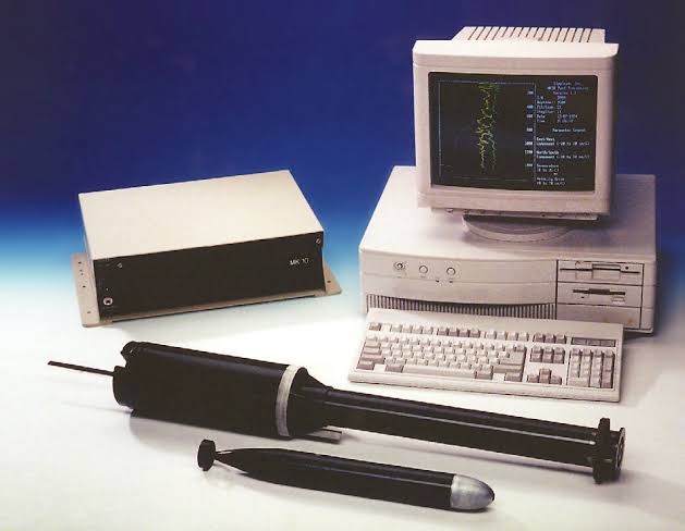
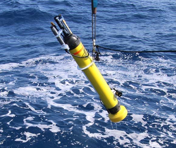
LiDAR, or Light Detection and Ranging, is a technology that utilizes laser light to measure distances and create three-dimensional mapping with a high degree of precision. LiDAR instruments consist of several key components that work together to collect environmental data. Firstly, there is a laser source that generates laser light pulses. This laser light source can be a single pulse or a continuous series of pulses, depending on the needs of the application.
The laser light pulses generated by the LiDAR instrument are then directed at the target or water surface to be measured. The laser light then bounces off the object and returns to the LiDAR instrument. The travel time of the light from delivery to reflection and back is measured very precisely, allowing accurate calculation of the distance between the LiDAR instrument and the object.
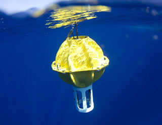
This collected distance data is then used to create a three-dimensional map of the aquatic environment. LiDAR instruments are often mounted on aircraft or ships, allowing for massive measurements from multiple angles to get a more complete picture. In addition, some LiDAR instruments are also equipped with sensors to measure additional parameters such as the intensity of reflected light, which can provide additional information on surface properties.
The application of LiDAR instruments in water not only enables highly detailed mapping of the seabed or river, but also provides valuable data for further understanding of geological structures, coastal morphology and ecological aspects within aquatic ecosystems. With technology constantly evolving, LiDAR instruments continue to play a key role in the exploration and further understanding of life below the water’s surface.
How LiDAR Work
LiDAR operational process involves the use of laser beams to measure distances and create three-dimensional maps of an object or environment. Here are the general steps in how LiDAR works:
1. Laser Beam Emission: LiDAR generates laser light pulses that are transmitted to the target or surface to be measured. These laser beams can be single pulses or a continuous series of pulses.
2. Light Reflection: The laser beams reach the target and reflect back to the LiDAR sensor after bouncing off the object or surface. The time it takes for light to return to the sensor is measured with high precision.
3. Time of Flight Measurement:LiDAR measures the time it takes for light to travel to the target and back to the sensor. This time measurement is used to calculate the distance between the LiDAR sensor and the target object.
4. Distance Calculation: Using the known speed of light, LiDAR calculates the distance with a simple formula: Distance = (Time of Flight x Speed of Light) / 2. The division by 2 is used because the measured time of flight includes the round trip to the target and back.
5. Coordinate Mapping and 3D Map Creation: LiDAR is often used in large quantities to measure tens of thousands or even millions of points quickly. The collected distance data from various angles are used to create a three-dimensional map of the object or environment. This map can include details such as ground surface elevation, building structures, or vegetation.
6. Data Analysis: The collected LiDAR data can then be analyzed for various purposes, including topographic mapping, urban planning, Earth surface modeling, environmental change detection, and more. LiDAR excels in producing highly detailed and accurate maps of the physical environment, making it widely used in applications such as land surveys, geospatial mapping, autonomous vehicle navigation, and environmental monitoring.
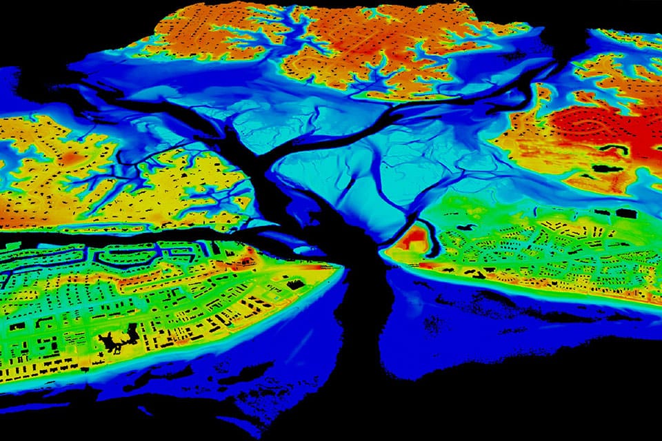
LiDAR Visualization Result
The visualization of LiDAR data in water involves mapping below the water surface with high-resolution. Airborne LiDAR or bathymetric LiDAR is often used to measure water depths and create models of the seafloor or riverbed. These maps can display underwater features such as seafloor contours, coral reef elevations, underwater structures, and significant depth variations. The visualization provides an in-depth view of the underwater topography and can be used to understand ocean currents, vessel navigation, as well as monitor and comprehend aquatic ecosystems.
LiDAR data in water can also be used for coastal and shoreline modeling. This visualization offers an accurate representation of coastal contours, erosion, and morphological changes over time. This is crucial for planning and mitigating natural disaster risks, especially in coastal areas vulnerable to storms or sea level rise.
The use of LiDAR in water is not only valuable for navigation and modeling the seafloor but also has a positive impact on natural resource management and marine environmental preservation. By leveraging this technology, we can gain a better understanding of water dynamics, marine habitats, and environmental changes that can affect the sustainability of aquatic ecosystems.
Writer : Muhammad Farhan
This Post Has One Comment
Hi, this is a comment.
To get started with moderating, editing, and deleting comments, please visit the Comments screen in the dashboard.
Commenter avatars come from Gravatar.